March 21, 2026 · Open Access Field Unit
The Long Way In
We found another route on an outdated satellite layer.
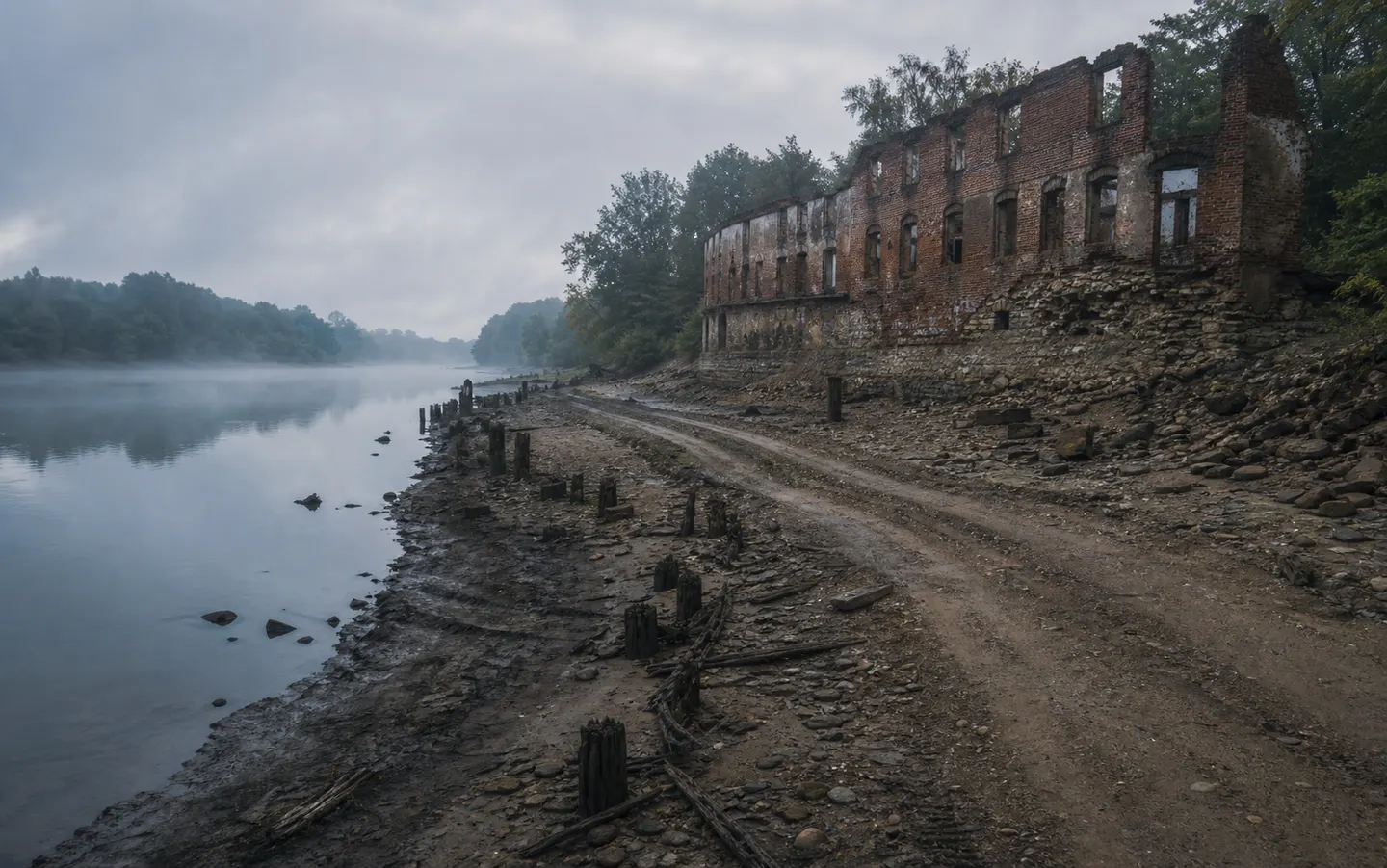
Field note
The road is blocked by trees on current imagery. In the older layer, it continues past the river and ends at a structure with no label.